
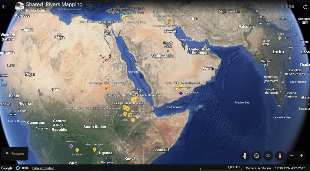
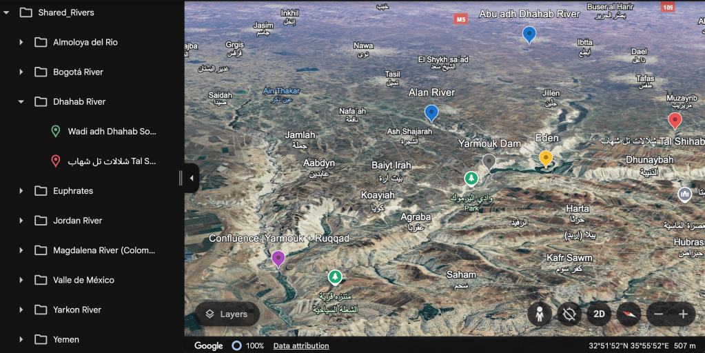
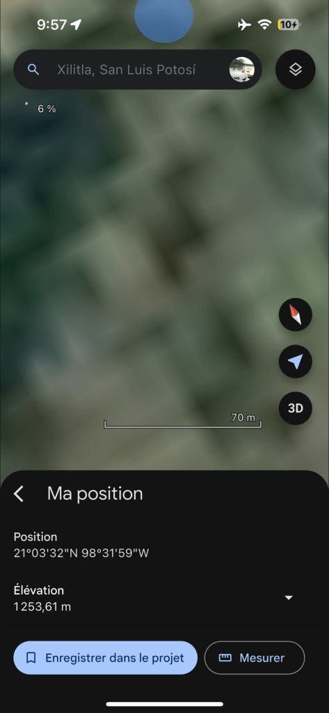
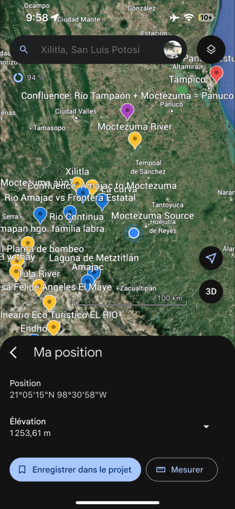
Access our Google Earth Map Project Here!
Migrating to QGIS App soon!
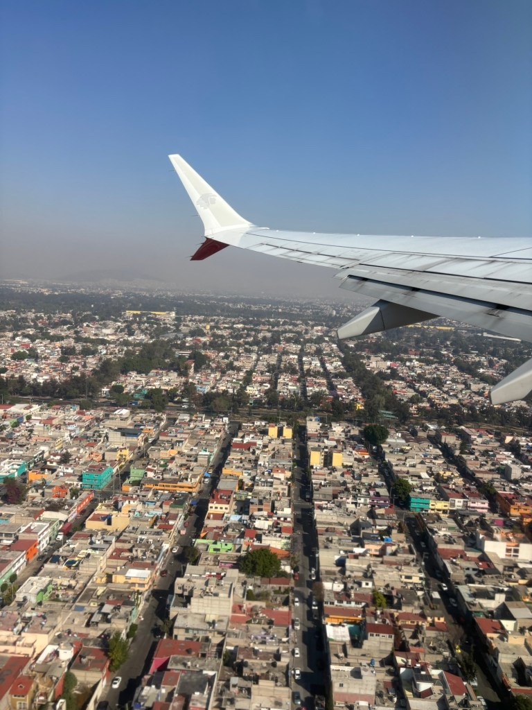
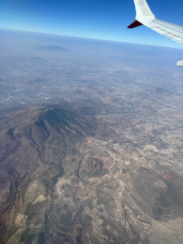
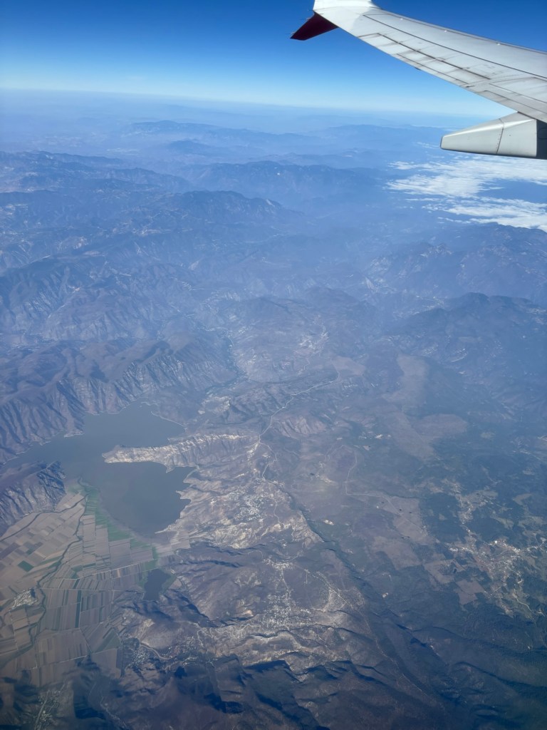
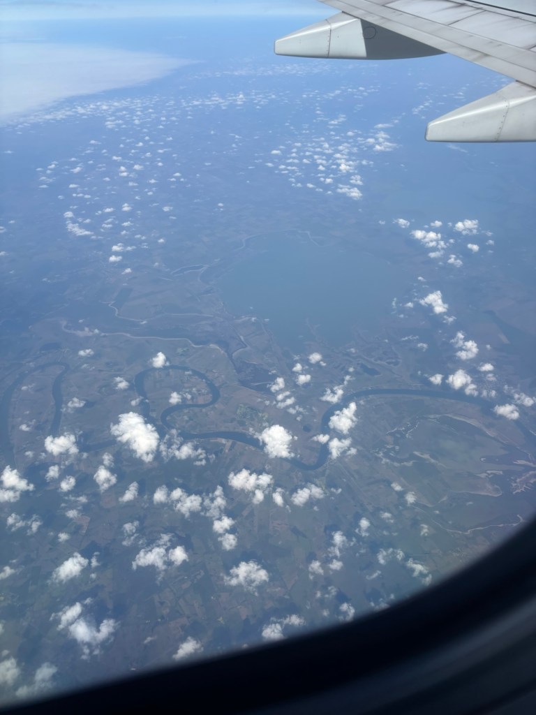
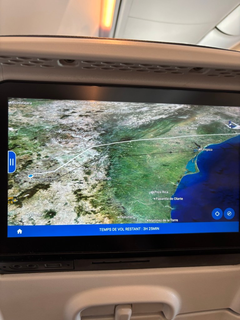
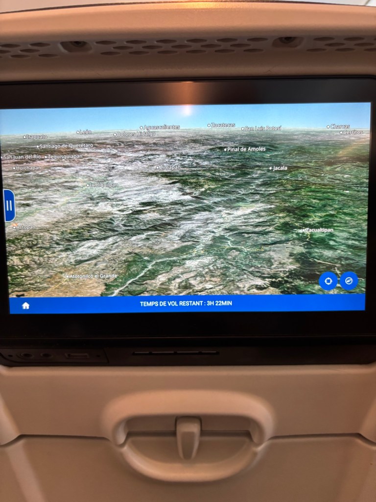
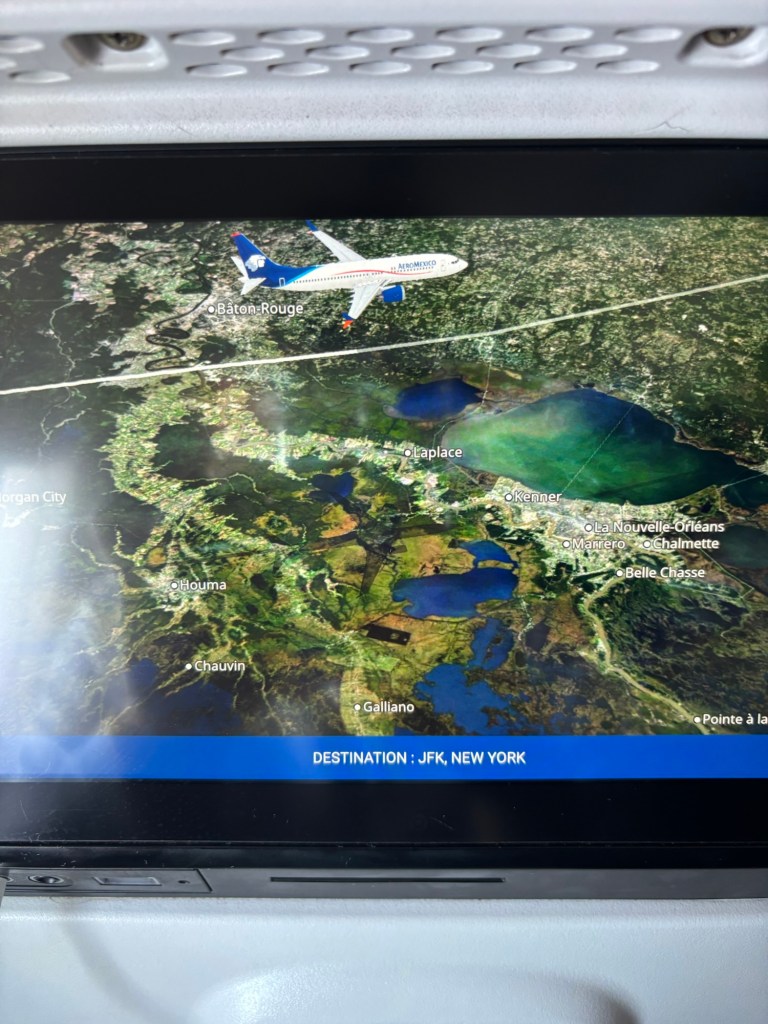
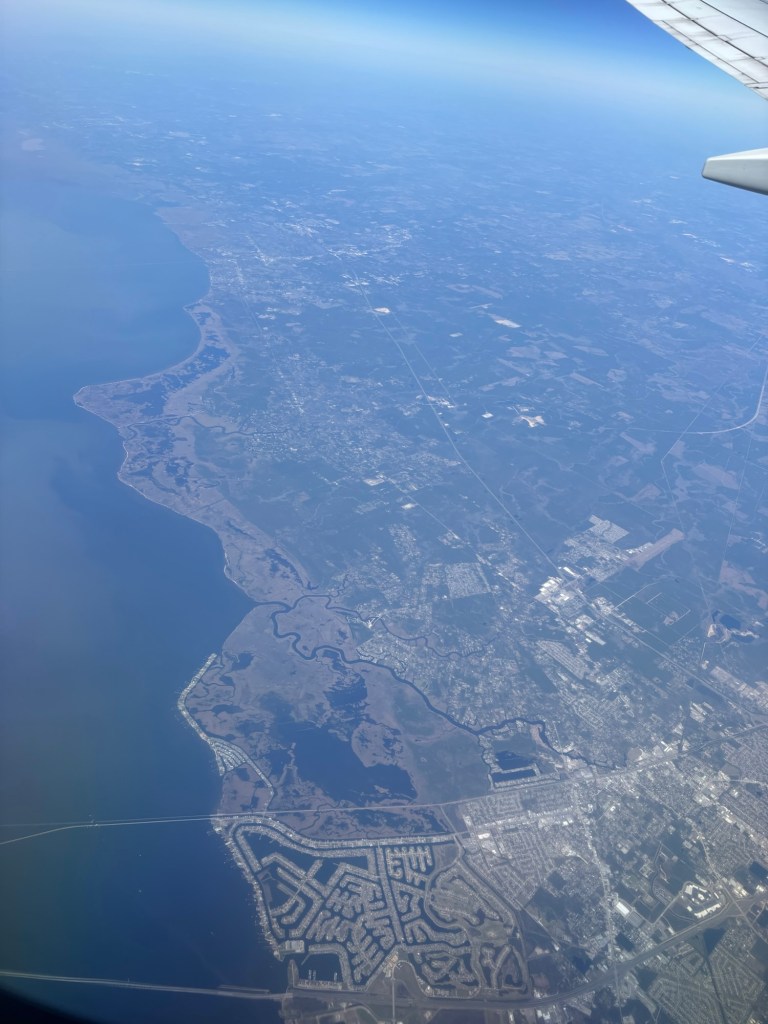
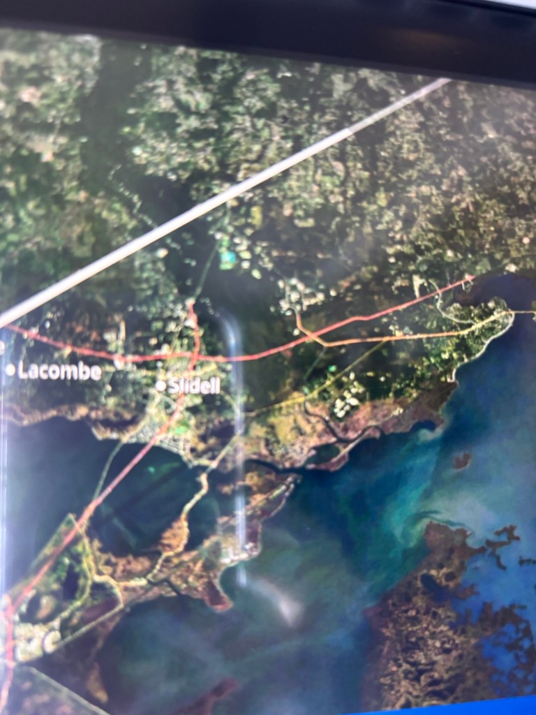
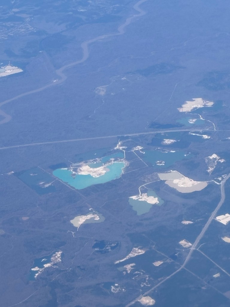
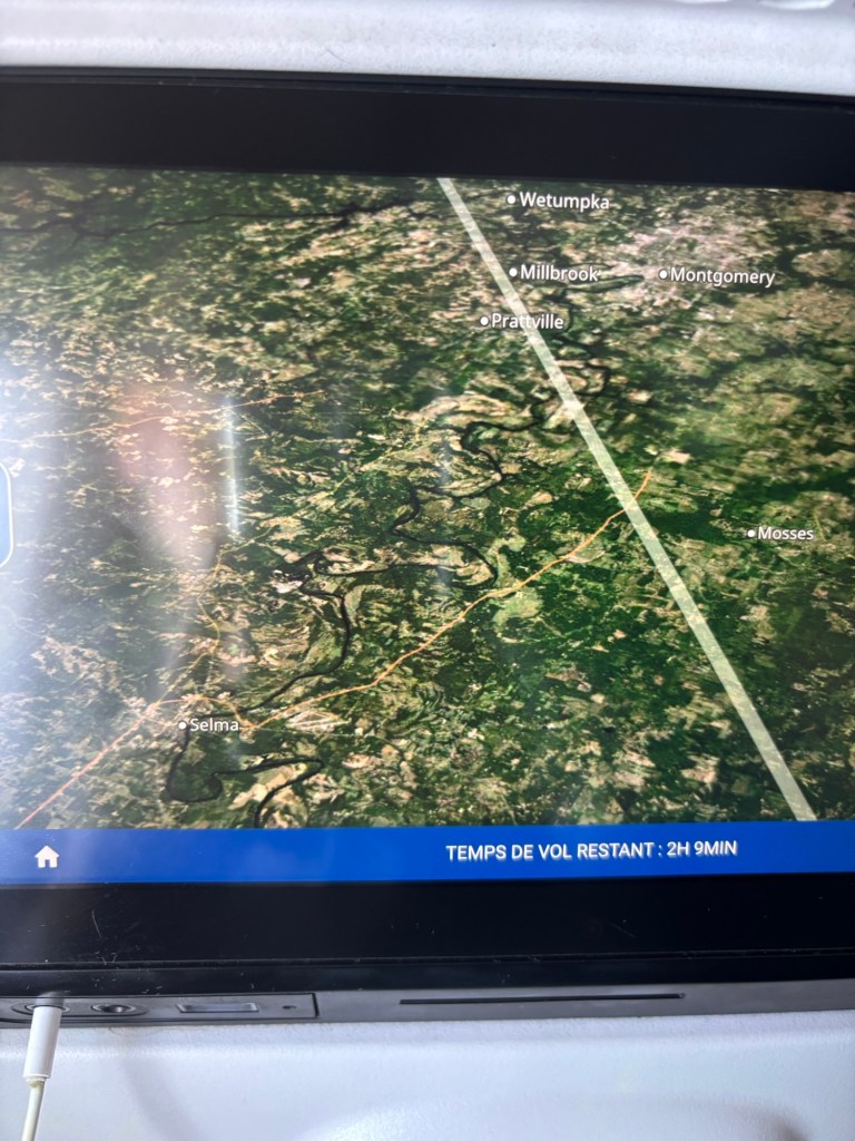
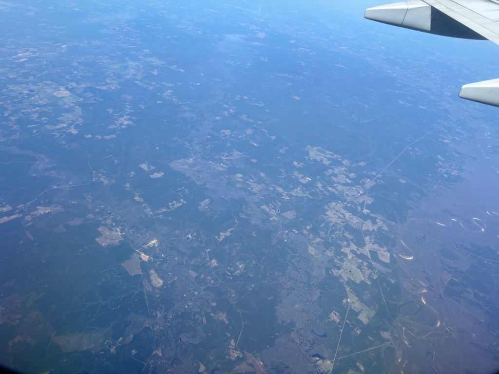
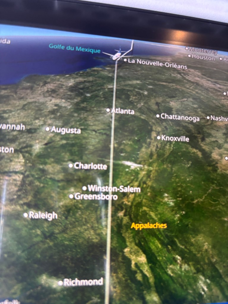
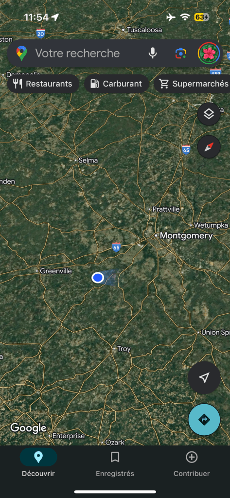
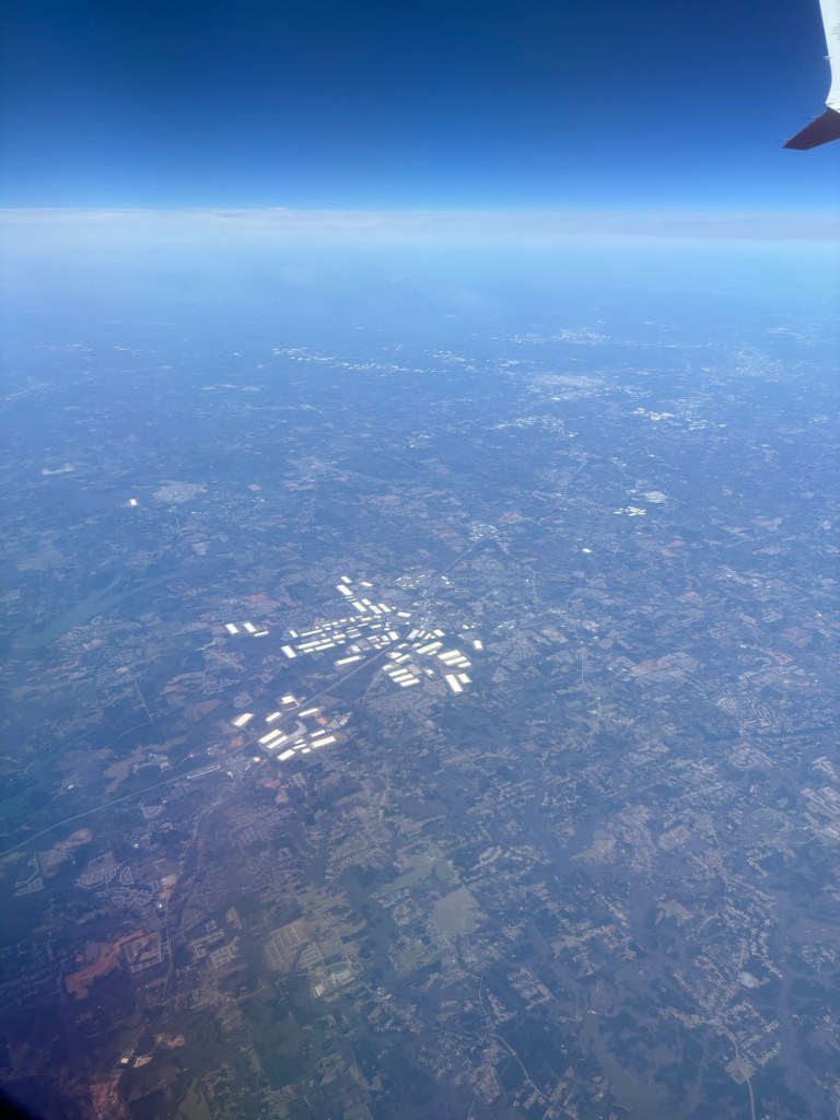
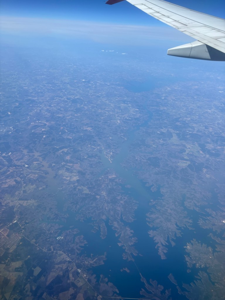
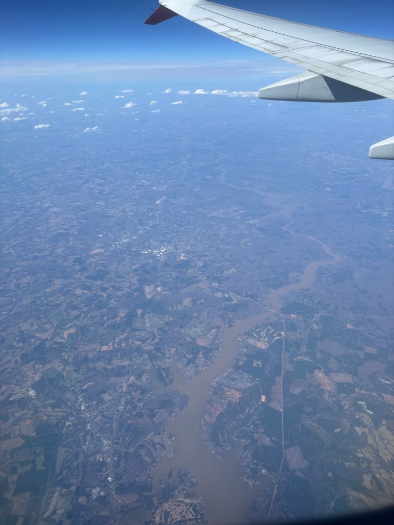
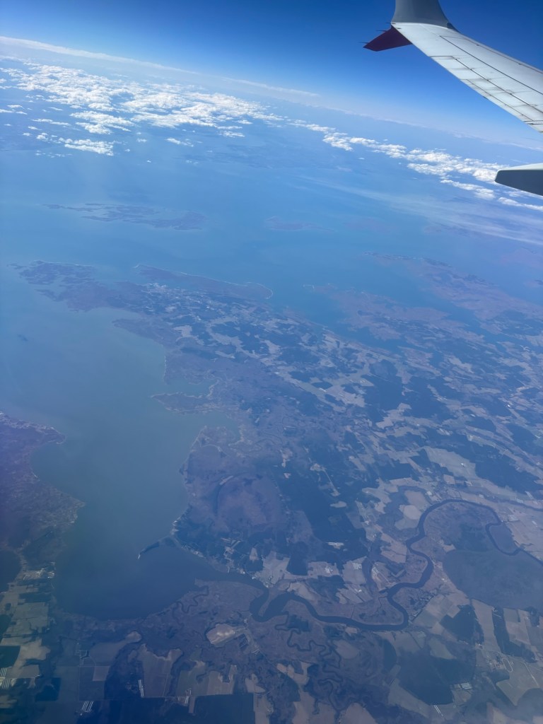
In the meantime please enjoy this photoshoot to get the aerial perspective of some of our e-mapped regions between CDMX and NYC.


For the faithful ones who scrolled all the way down, here’s an unrelated (but not irrelevant) live updates map of organized crime activity in Mexico, and while we are at it, the Los Angeles gang territories map too. We believe the land is from the otters, and the otters from the land, but it might be useful to know who else is falsely claiming it to not get in trouble.

Leave a comment